
TreeLine Utility Solutions delivers technically accurate 3D models that form the backbone of clear, defensible visual communication for energy and infrastructure projects worldwide. Built from engineered drawings, conceptual plans, GIS data, and real-world references, our models reflect true scale, spatial relationships, and design intent.
These models are used across regulatory processes, consultation efforts, internal design review, and project communications, supporting consistency and clarity at every stage.
At TreeLine, 3D modeling is a disciplined technical process, not a purely visual one. Each model is developed with the expectation that it will be closely reviewed and potentially reused across multiple applications.
Our approach emphasizes:
This ensures models remain reliable reference tools throughout the project lifecycle.

TreeLine creates custom 3D models using the most accurate information available at each project stage. Depending on project needs, models may be developed from:
When designs are still evolving, our team models conservatively to ensure representations remain realistic and appropriate for review.
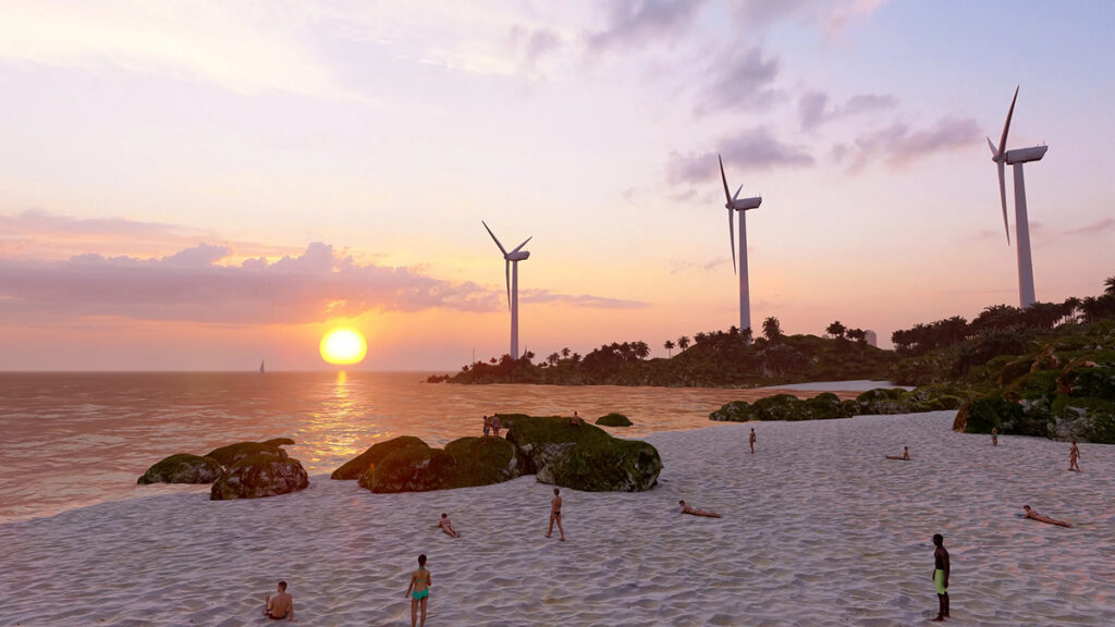
Every component within a TreeLine 3D model is carefully scaled and spatially aligned. This precision allows models to accurately represent:
Accuracy at this level supports confident communication with regulators, stakeholders, and decision-makers.
TreeLine’s 3D models are intentionally built to support a wide range of outputs without needing to be recreated. Models can be exported to multiple file formats and adapted for different audiences and platforms.
Typical uses include:
This flexibility maximizes the long-term value of each model.
Beyond external communication, accurate 3D models play an important role in internal understanding and coordination. Visualizing spatial relationships in three dimensions can help teams identify potential challenges earlier and communicate more effectively across disciplines.
Models can support:
TreeLine also develops custom 3D infrastructure libraries that allow organizations to maintain consistent visual representations across multiple projects.
These libraries may include:
Maintaining a consistent catalogue improves efficiency, accuracy, and brand alignment over time.
Because TreeLine completes all modeling work in-house, 3D models integrate seamlessly with photo-realistic visualization, video production, immersive experiences, and GIS data.
This integrated workflow ensures:
Clients trust TreeLine’s 3D modeling services because accuracy and accountability are built into every step of the process.
We offer:
If your project requires precise, scalable 3D models that support visualization, review, and consultation, TreeLine Utility Solutions is ready to assist.
Contact us to discuss your project data, scope, and modeling needs.