
TreeLine Utility Solutions provides specialized technical visualization services for energy and infrastructure projects globally. Our work helps project teams clearly communicate complex designs to regulators, Indigenous and landowner groups, investors, and decision-makers, before construction begins.
All visualizations are completed in-house, grounded in real engineering data, and built to be accurate, defensible, and true to the human field of view. From supporting an RFP, regulatory submission, to public consultations, our focus remains the same: clarity, realism, and respect for the landscape.
Our services are used throughout the full project lifecycle, from early planning and bidding to consultation, approval, and public engagement. Each solution is tailored to the technical, environmental, and social context of the project.

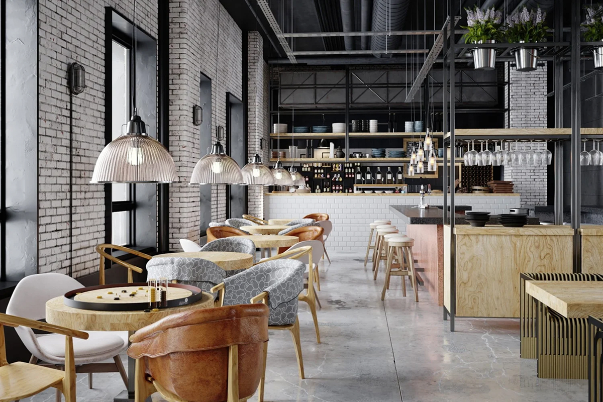
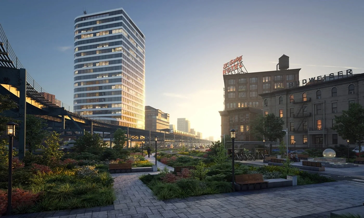
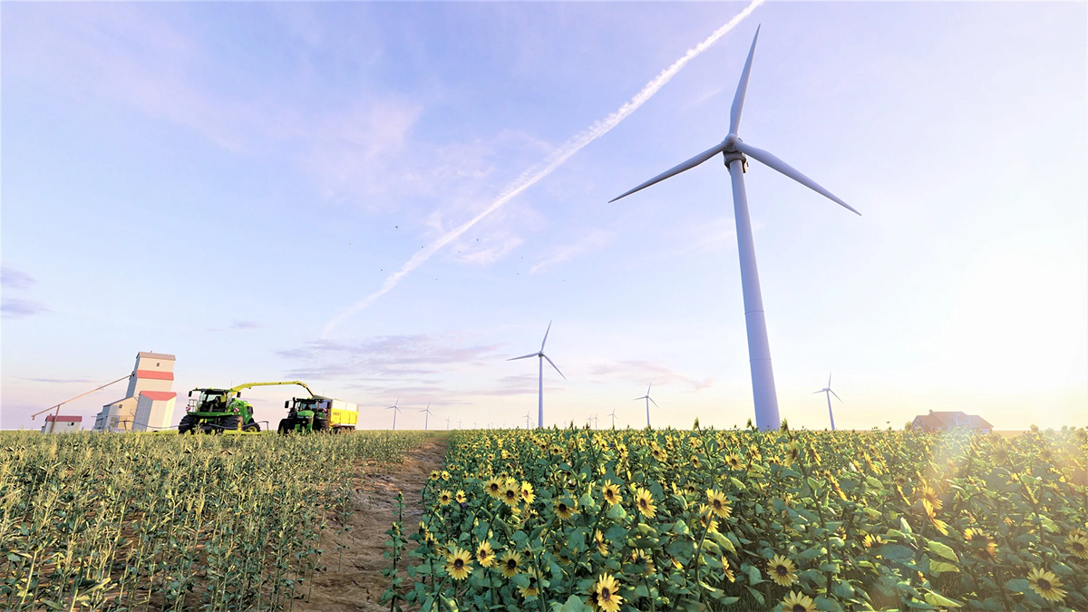
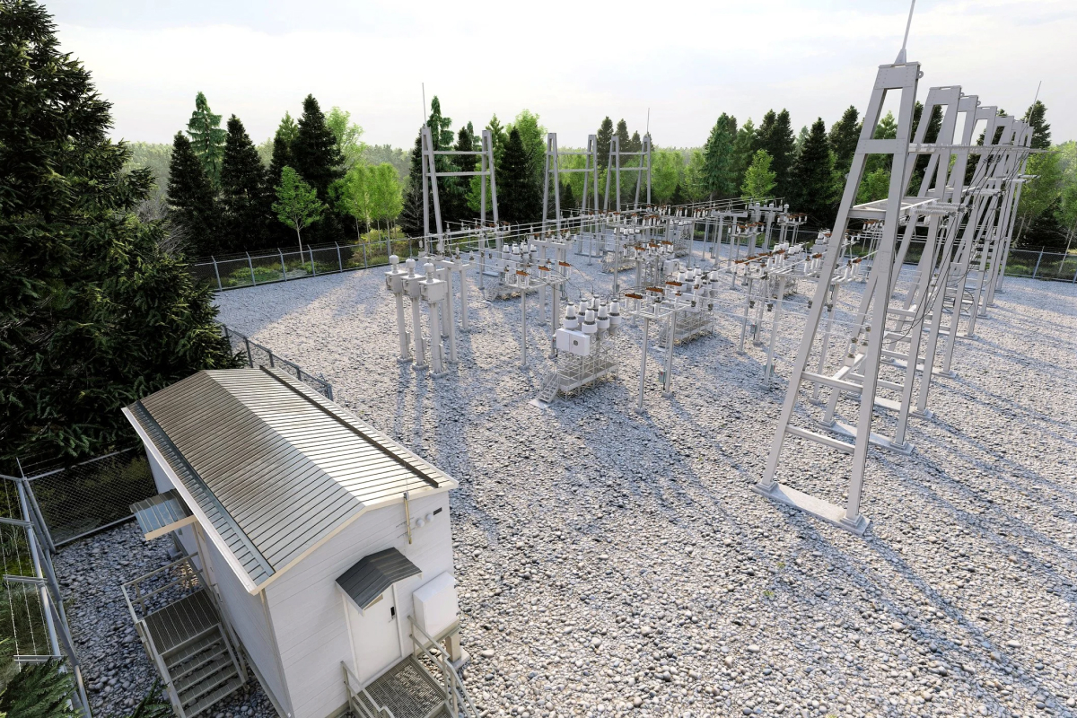
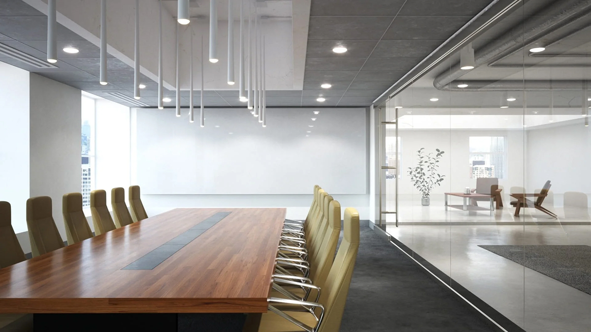
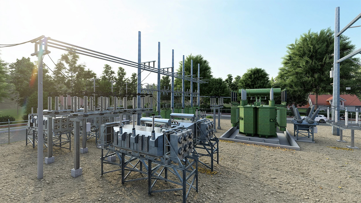
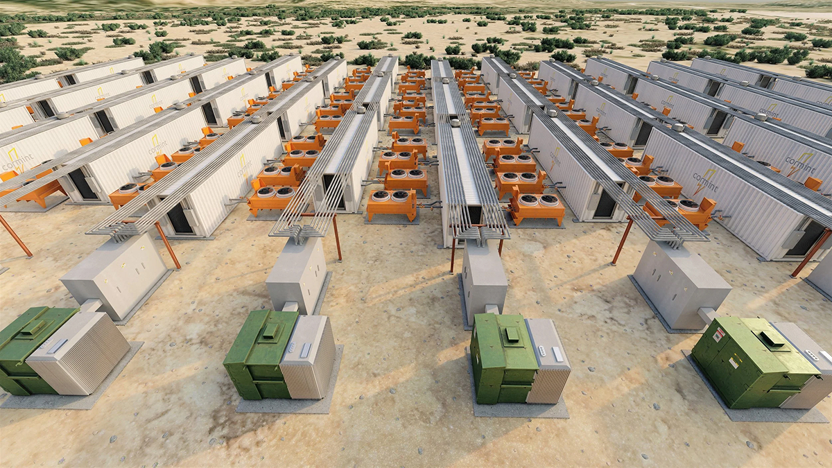
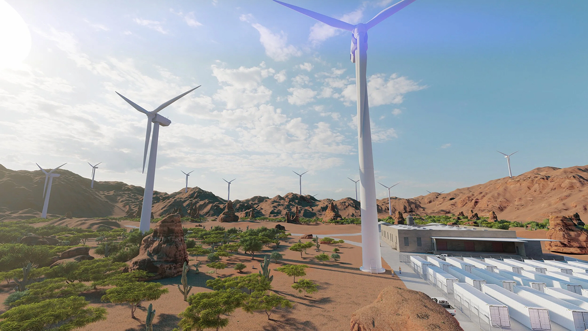
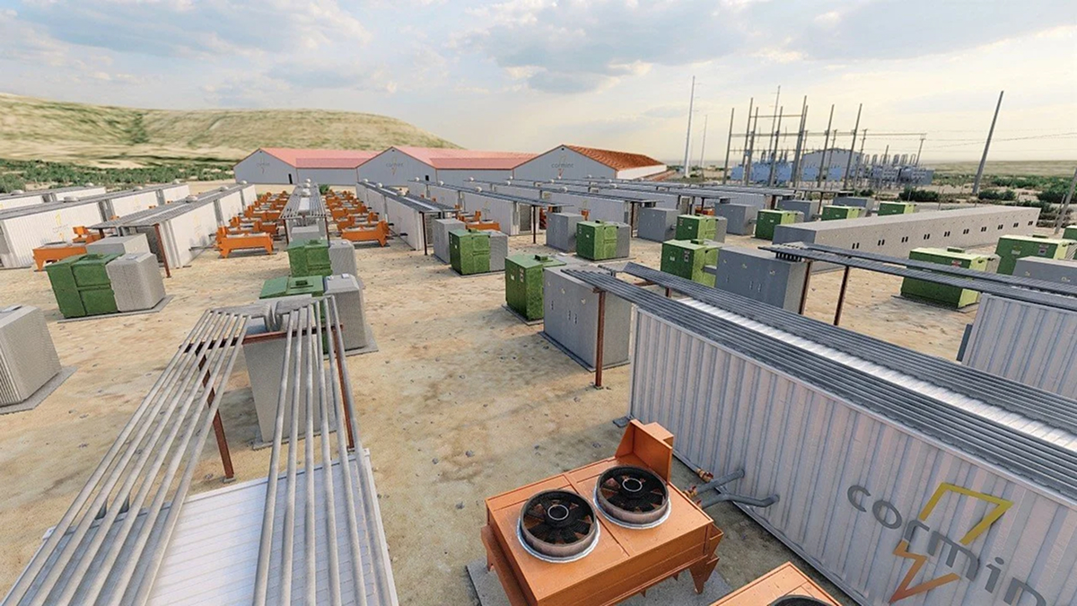
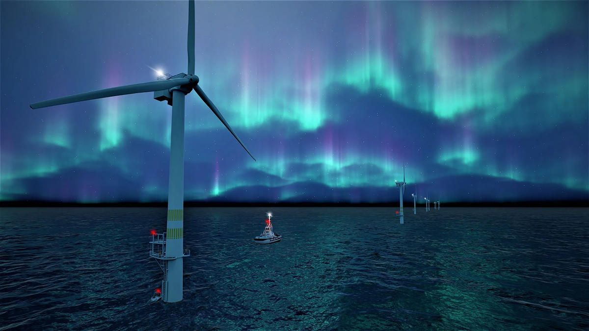
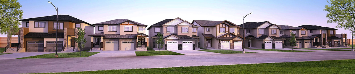
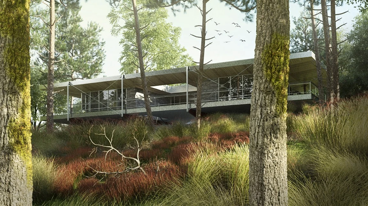
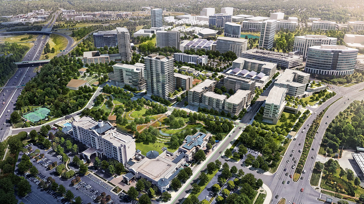
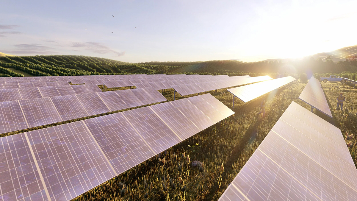
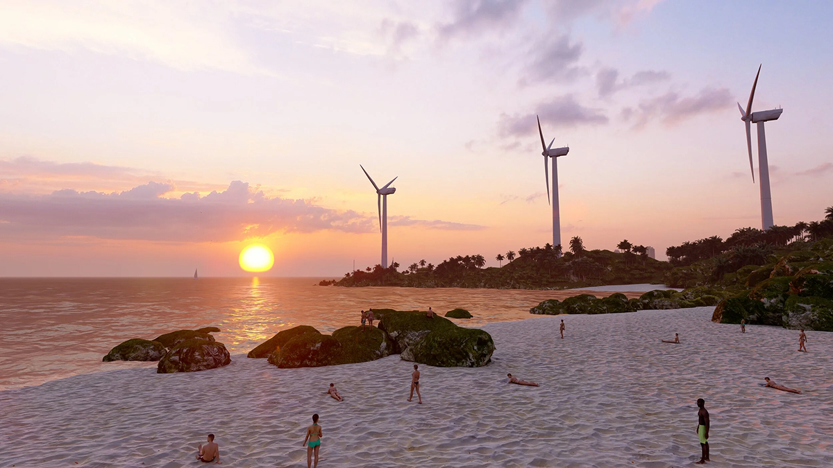
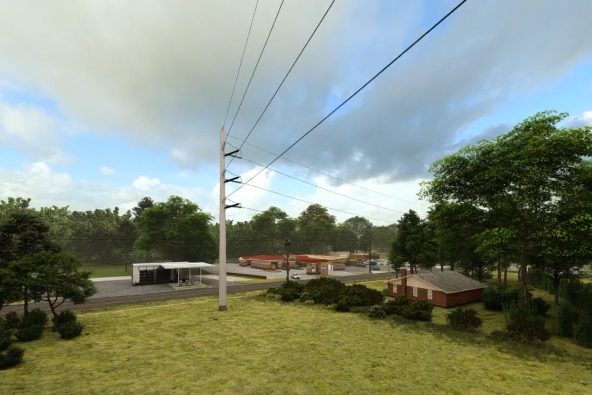
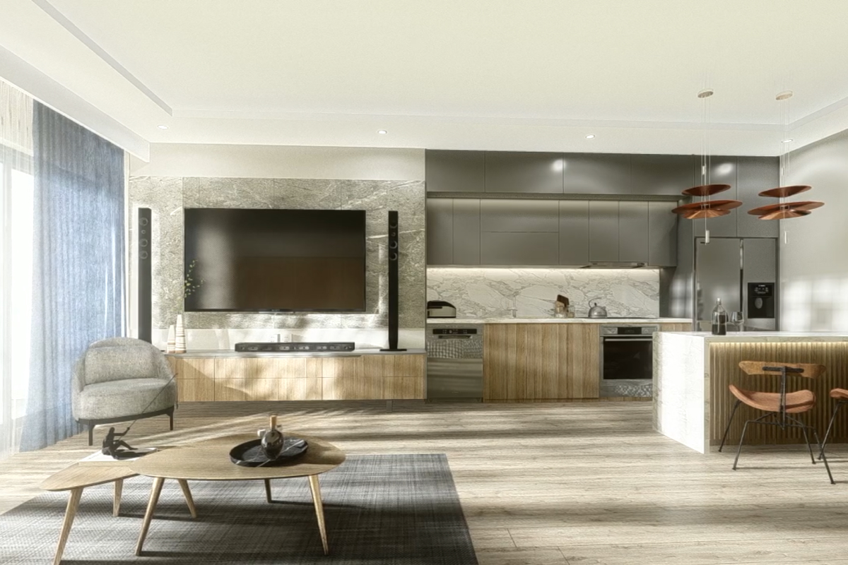
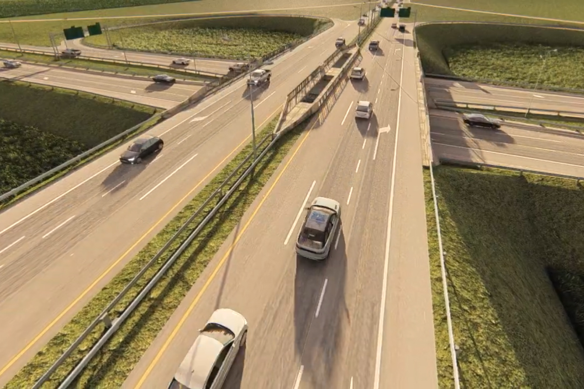
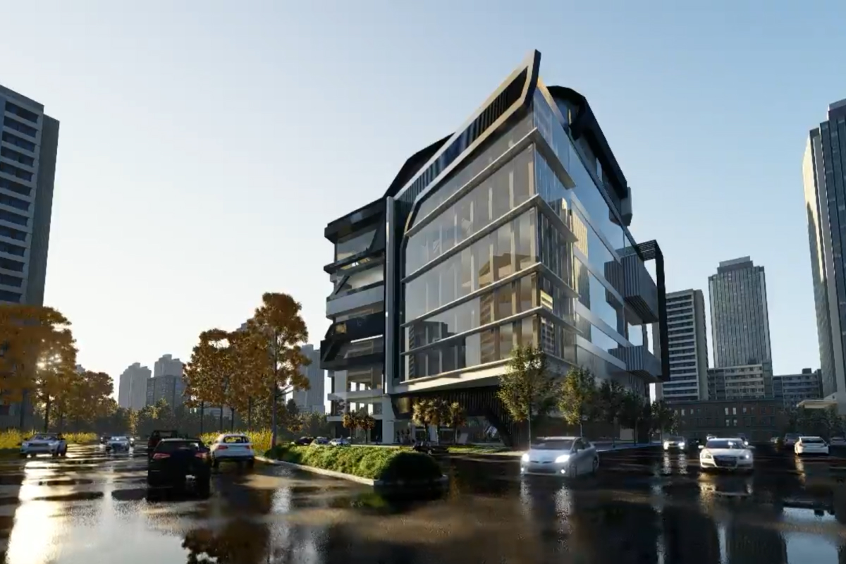
Our photo-realistic visualizations show proposed infrastructure exactly as it will appear within its real-world setting. Using accurate camera placement, scale, terrain data, and vegetation modeling, we produce visuals that can withstand scrutiny from regulators, landowners, and Indigenous communities.
Common use cases include:
Each rendering reflects real sightlines, distances, and environmental conditions, helping viewers understand not just what is being built—but how it fits into the landscape.
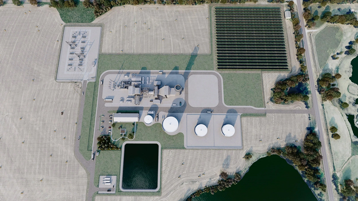
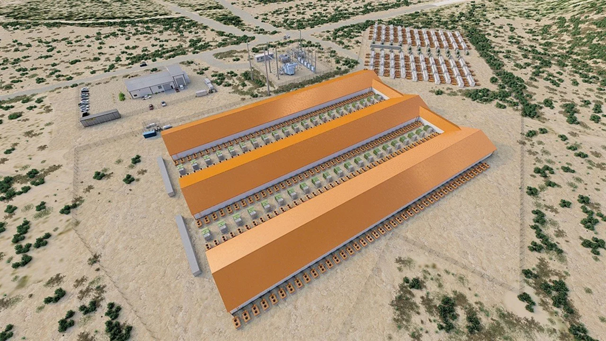
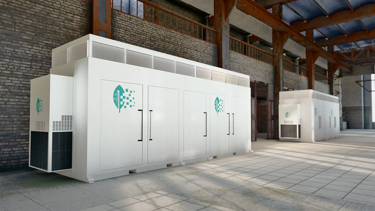
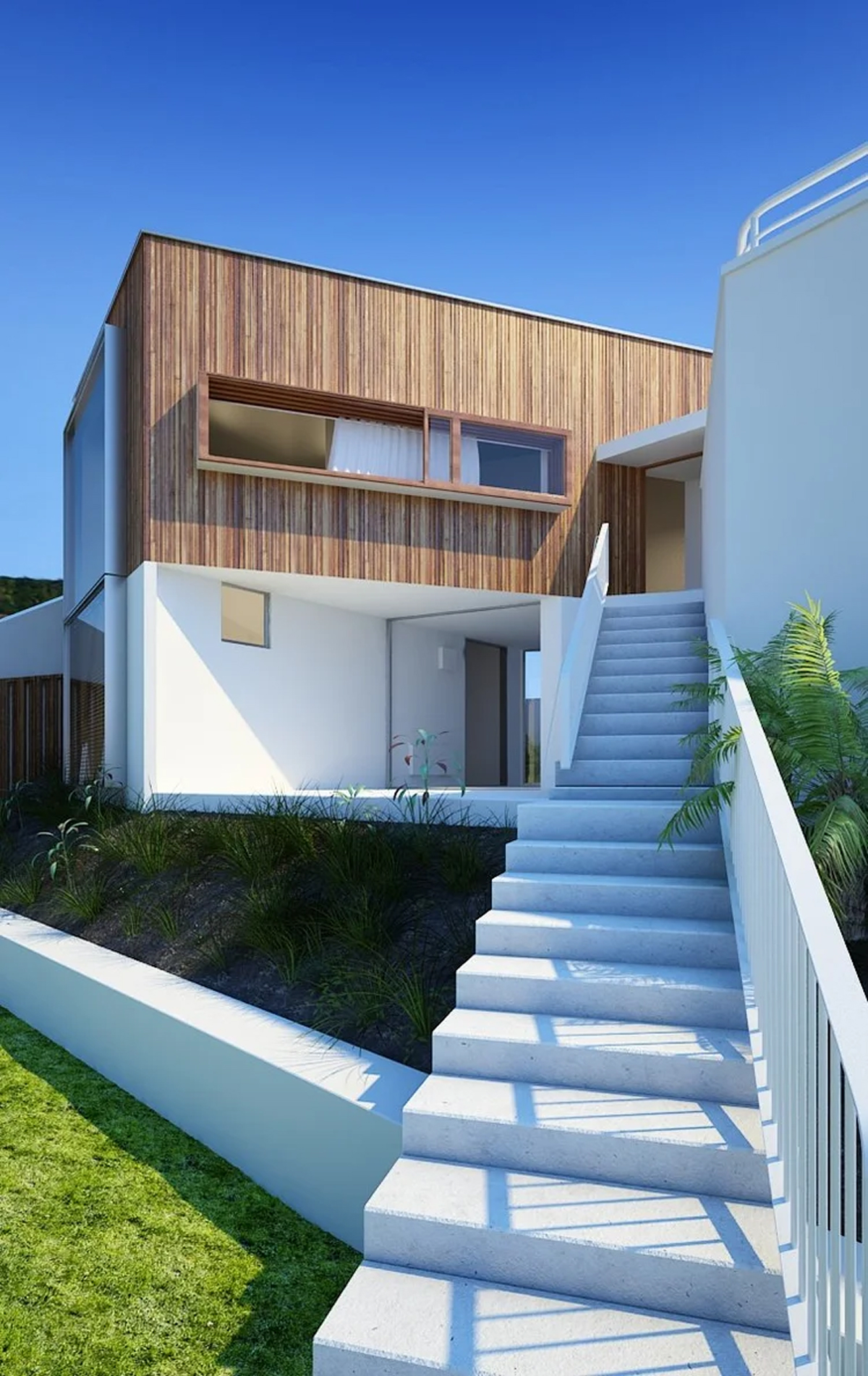
TreeLine creates highly accurate 3D models that form the foundation of all downstream visual assets. Models are developed using engineered drawings, GIS data, conceptual plans, or existing site conditions, with careful attention to scale and spatial accuracy.
3D models support:
We also build custom 3D infrastructure libraries and catalogues that can be reused across projects.
Using our custom-built 3D models, we produce high-quality visualization videos that guide viewers through a project in a clear and accessible way. Video is particularly effective for explaining sequencing, scale, and spatial relationships in large or linear infrastructure projects.
Video content is commonly used for:
Smooth transitions, accurate camera paths, and optional labelling ensure technical information is communicated clearly and responsibly.
TreeLine develops dimensionally accurate VR and AR experiences that allow users to experience a proposed project at true scale. These tools are especially effective when static visuals alone aren’t enough.
VR and AR are well-suited for:
Immersive environments help stakeholders build confidence in both the design and the decision-making process.
Our GIS capabilities ensure that all visual outputs are aligned with accurate geographic, environmental, and spatial data. GIS is integrated directly into our visualization workflows to support defensible results.
GIS services include:
This approach strengthens both the technical accuracy and regulatory reliability of our visualizations.
TreeLine specializes in visuals designed specifically for consultation environments, where clarity, transparency, and accuracy are essential. Our assets support respectful, informed dialogue with communities and stakeholders.
These visuals are frequently used for:
Every project is approached with care, professionalism, and respect for the land and the people connected to it.
If you need accurate, defendable technical visualizations to support your next energy or infrastructure project, TreeLine Utility Solutions is ready to help.
Contact us to discuss your project scope, timeline, and consultation requirements.

